Want to spend less time in your car without giving up Spokane’s energy and amenities? If you value convenience, lower costs, and a smaller footprint, living near the City Line can make everyday trips simple. In this guide, you’ll see how the City Line works, which neighborhoods support car-light living, and how to evaluate a specific address for your lifestyle. Let’s dive in.
Why the City Line changes the game
The City Line is Spokane’s first high‑performance bus rapid transit corridor, opened July 15, 2023, connecting Browne’s Addition to Spokane Community College through Downtown and the University District. It was designed for frequent, all‑day service with features that make commuting and errands easier, including near‑level boarding and real‑time information. The line uses battery‑electric articulated buses and stations spaced about a quarter to a third of a mile to keep walks short for most trips. For details on routing and design, explore the City Line overview and history on the project page and transit resources.
- Learn the corridor basics and history on the City Line overview. (City Line profile)
- Check current route and service information through Spokane Transit. (City Line route and schedule)
Walk, bike, connect
Walkability varies by neighborhood, but Spokane’s central districts stand out. Riverside in particular ranks among Spokane’s most walkable areas, with many errands doable on foot. You can compare neighborhood walkability across the city and drill into specific addresses to see how your daily needs stack up.
- Compare neighborhoods citywide. (Spokane Walk Score)
- See how central Riverside scores for everyday errands. (Riverside Walk Score)
Cycling is a powerful partner to the City Line for first‑ and last‑mile trips. Spokane’s Bicycle Master Plan and Bicycle Priority Network work aim to build safer, lower‑stress connections, including protected lanes and improved bike parking. Reviewing the city’s bicycle resources can help you map realistic routes for work, school, or groceries. (City of Spokane Bicycle Master Plan)
Neighborhoods along the line
Below are concise profiles to help you match your lifestyle to the corridor. Car‑light feasibility can vary by block, so pair this with the address‑level checklist later in the guide.
Browne’s Addition
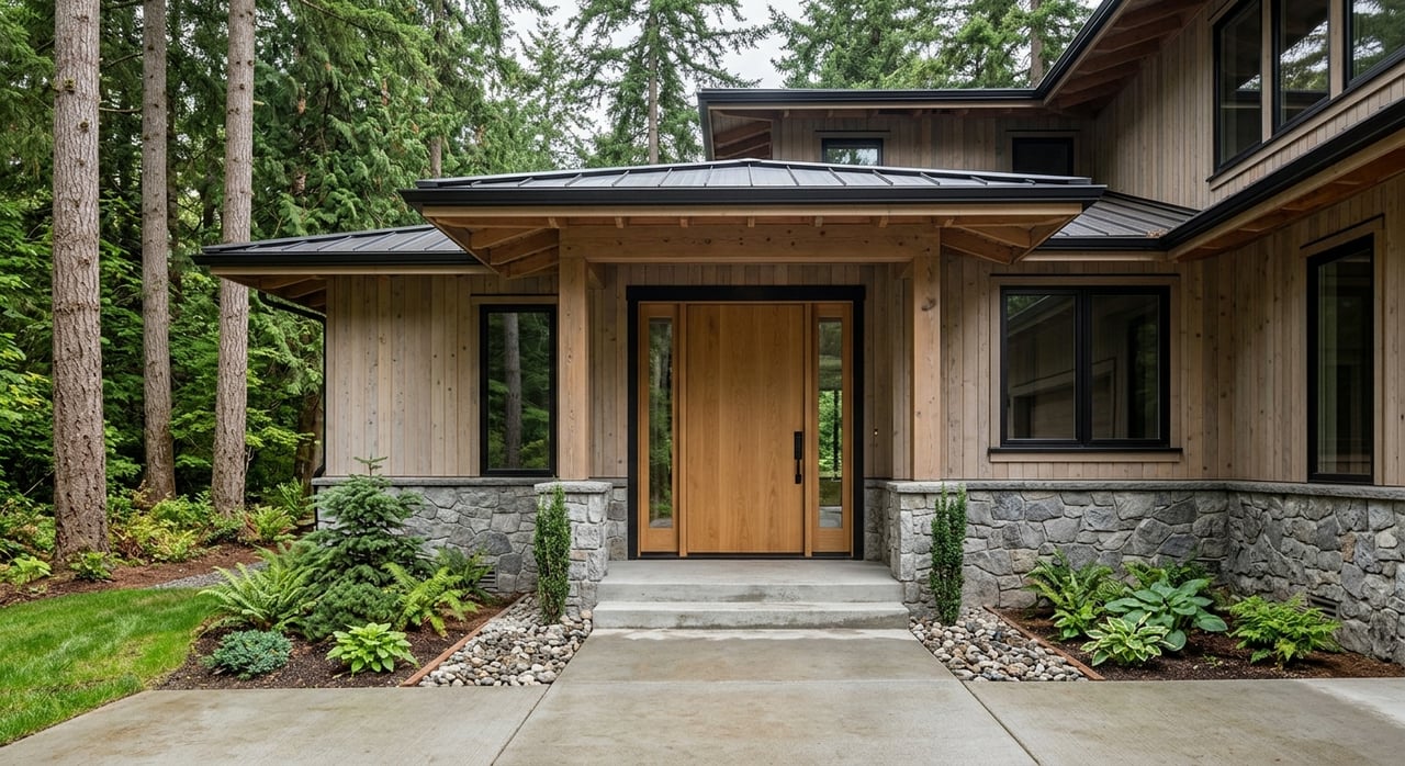
Historic and tree‑lined with many apartments and condos, Browne’s Addition is a short hop from Downtown and arts venues. Coeur d’Alene Park anchors the neighborhood, and everyday errands are often walkable. With City Line access, it is a strong candidate for car‑light living. (Neighborhood background)
Downtown and Riverside
Riverside is the center of transit in Spokane, home to Riverfront Park, major employers, services, and cultural venues. With the STA Plaza nearby, you gain the strongest network connectivity for trips beyond the City Line. High walkability and frequent service make this area the easiest place to reduce car use. (Riverside Walk Score)
Davenport District and West End
Adjacent to the core, these districts mix entertainment, lofts, breweries, and medium‑density housing. You are close to multiple City Line stations, nightlife, and downtown services. For many residents, that combination supports a simpler, lower‑car routine.
Logan and the University District
Centered around Gonzaga and WSU Health Sciences, Logan blends student housing, small apartments, and local services. City Line service along Mission Avenue puts Downtown and SCC within quick reach. It suits students, faculty, medical workers, and anyone who prefers short, reliable transit trips. (Neighborhood background)
East Central
This transition area east of the University District has a mix of residential streets and commercial corridors. Walkability is moderate, but City Line connectivity into Downtown and the universities adds flexibility. Many residents combine short transit rides with occasional car trips. (Neighborhood background)
Chief Garry Park and SCC
The Spokane Community College terminus is both a major trip generator and transfer point, strengthening your connections to the wider network. Housing types vary, and car‑light viability depends on how close you are to services and station access. If your daily needs cluster near the SCC Transit Center, this area can work well. (Neighborhood background)
Daily needs within 15 minutes
Grocery, pharmacy, primary care, parks, and daycare often determine how easily you can skip the car. The City Line’s station spacing of roughly 1/4 to 1/3 mile was designed to put many of these needs within a 5 to 15 minute walk from a stop, especially in Downtown, Riverside, and parts of Logan. Availability still varies by block, so confirm store and clinic locations near your specific address. (City Line overview)
Winter, hills, and real‑world planning
Spokane winters are cold, and some areas have notable hills that affect walking and biking comfort. The river valley and the University District to Downtown corridor are flatter and often more comfortable year‑round. Combine the City Line with low‑stress bike routes and expect to adjust your patterns seasonally. The city’s bicycle planning resources can help you identify gentle routes that line up with your station. (Bicycle Master Plan)
How to evaluate an address for car‑light living
Use this quick checklist to vet any home along the City Line:
- Transit: Confirm the nearest City Line station and check current frequency and span on the official route page. Consider transfer options at the STA Plaza or SCC.
- Walkability: Look up the Walk Score for the exact address to compare daily errands on foot.
- Biking: Review the Bicycle Master Plan map and identify low‑stress routes to your station and weekly destinations.
- Essentials: Map the nearest grocery, pharmacy, clinic, and park. Aim for most to be within a 5 to 15 minute walk.
- First/last mile: Note sidewalks, lighting, snow removal patterns, bike parking, and storage at home for bikes or strollers.
Buying or selling along the City Line
Transit‑oriented locations often attract buyers and renters who prize convenience, which can amplify demand for well‑located homes. If you are selling, highlight walkability, bike access, and proximity to City Line stations in your listing and showing strategy. If you are buying, weigh housing type, station proximity, and daily‑needs access to support your routine. For background on how the corridor was planned to link land use and transit, review the City Line project materials. (City Line project overview)
Ready to explore homes along the corridor or position your listing to capture transit‑oriented demand? Let’s tailor a plan to your lifestyle and neighborhood goals. Connect with Eva Scherer for a thoughtful, high‑touch approach grounded in local expertise.
FAQs
Can you live car‑free on Spokane’s City Line?
- Yes, especially in Browne’s Addition, Downtown/Riverside, and parts of Logan where walkability and frequent service already support errands and commutes; confirm station proximity and nearby groceries for your exact address.
How frequent is the City Line during commute times?
- The corridor was designed for high‑frequency service, with fast boarding through near‑level platforms and off‑board fare options; check the official schedule before you go since timing can change.
What about Spokane’s winter and hills for biking?
- Expect to adjust routes and gear in colder months; favor flatter river‑corridor stations and use low‑stress bike connections identified in city planning resources to keep trips comfortable.
Does living near City Line affect value or rental demand?
- Transit‑oriented areas often attract demand from people who prioritize access and convenience, though actual pricing depends on broader market conditions and the specific property.
How do I assess a specific address near the City Line?
- Verify the nearest station and current schedules, check the address’s Walk Score, map groceries and clinics within 15 minutes, and review low‑stress bike routes that connect home to daily destinations.